Vracity: Transforming Archaeology in Saudi Arabia with Advanced Technology
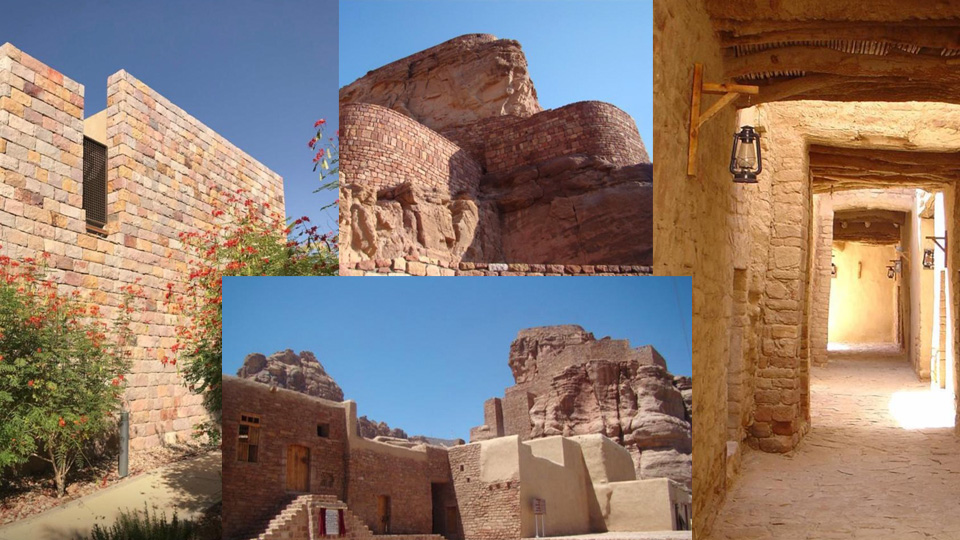
In Saudi Arabia, a land rich with ancient history, Vracity is pioneering a new era of archaeological exploration. Utilizing cutting-edge technology, we transform the way sites are explored, documented, and understood, focusing on advanced data capture, processing, and reporting techniques.
Data Capture: Precision in Preservation
- Ground Penetrating Radar (GPR): Detects and maps subsurface features without disturbing the soil, revealing hidden structures and artifacts.
- Drone Surveys: Equipped with high-resolution cameras and LiDAR, drones capture detailed aerial imagery and topographic data for creating 3D models.
- Laser Scanning: Generates precise 3D representations of structures and landscapes, documenting intricate architectural details.
Data Processing: Turning Raw Data into Insights
- 3D Modeling: Integrates GPR, drone, and laser scanning data to create comprehensive models for detailed analysis and virtual reconstruction.
- Geospatial Analysis: Utilizes GIS to analyze spatial relationships and patterns within the data, mapping features and understanding broader contexts.
- Data Integration: Combines various data sources, providing a complete picture of a site’s history and usage.
Reporting: Clear Communication of Discoveries
- Technical Reports: Document methodologies, findings, and interpretations, supporting further research and excavation planning.
- Heritage Documentation: Creates digital records of sites, invaluable for future research and conservation.
Preserving Saudi Arabia’s Heritage
Vracity’s innovative approach sets new standards in archaeology, combining advanced technology with respect for cultural heritage. Our work enhances academic understanding and fosters global appreciation of Saudi Arabia’s rich legacy.
Follow Vracity to stay updated on our latest projects and technological advancements in archaeology.