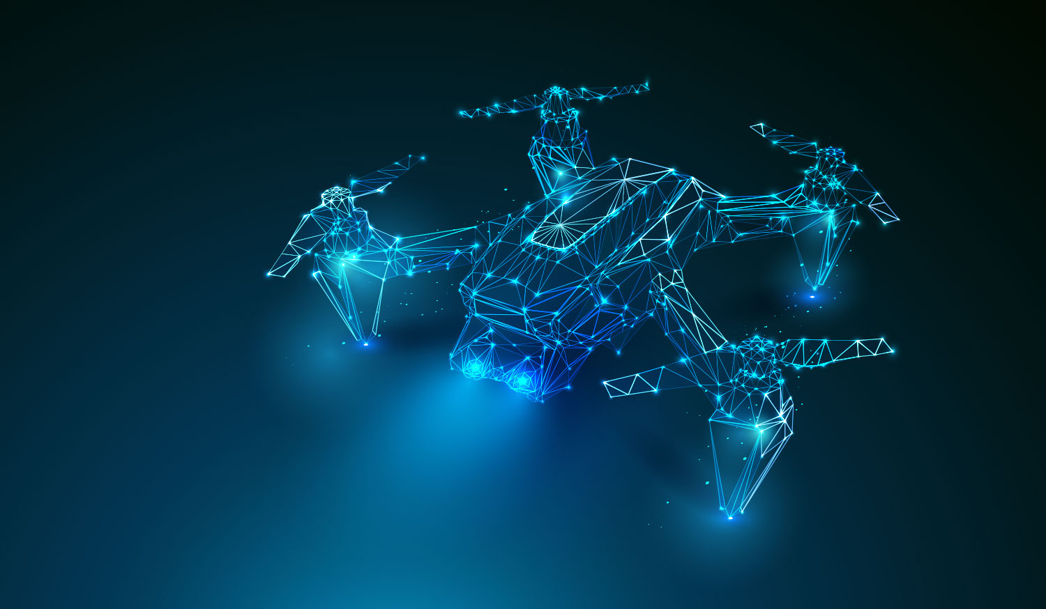
Vracity Drone Solutions
Advanced drones and AI analytics deliver accurate data, faster decisions, and safer operations across industries.
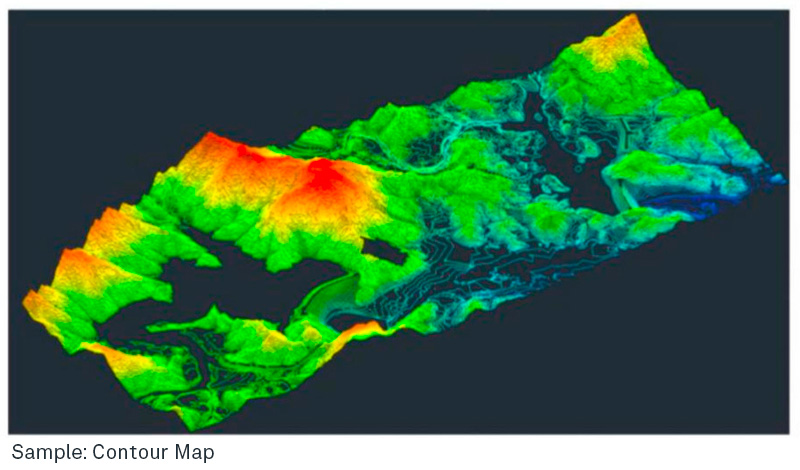
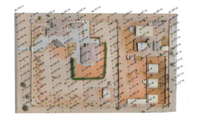
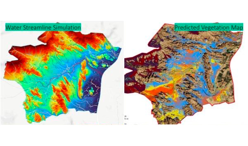
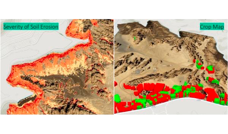
High-resolution aerial surveys (up to 1 cm accuracy). Deliverables: orthomosaics, 3D point clouds, DSM models. AI processing speeds up turnaround on large sites.
- Infrastructure & Utilities: Powerlines, solar panels, pipelines, wind turbines.
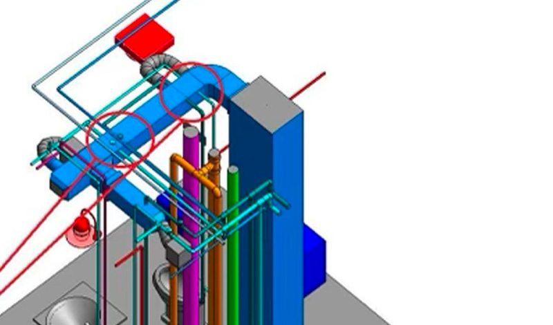
- Industrial & Structural: Buildings, confined spaces, complex industrial assets.
- Predictive Maintenance: Early fault detection via thermal, UV, LiDAR, and gas sensors with AI analysis.
High-resolution imagery and 3D models for documentation, monitoring, and preservation. Photogrammetry tracks changes without physical disruption.
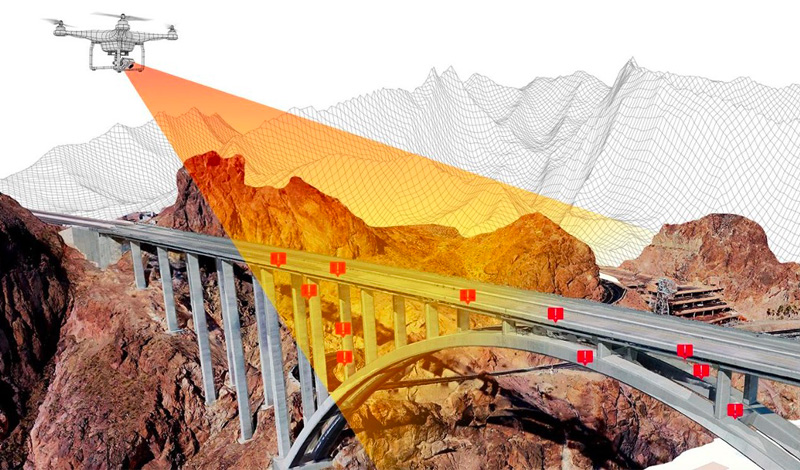
Regular progress updates, as-built vs as-planned comparison, and risk tracking. AI reporting delivers clear visuals for stakeholders.
Precise stockpile calculations, grading checks, and defect detection. AI tools flag deviations and optimize operations.
Aerial data for risk assessment, underwriting, and claims. AI enhances accuracy and speeds up reporting.
Advisory on regulations, workflow setup, hardware/software selection, training, and AI adoption.
- ISO 21384-3:2019
- ISO 14001:2015
- ISO 45001:2018
- ISO 27001:2013
- ISO 9001:2015
- 560,000+ assets inspected
- 73,000+ turbines surveyed
- 380,000 km powerlines mapped
- 7,700 MW solar inspected